• العَرَبِيةُ
  • Cebuano (Bisayan)
  • English
  • فارسی
  • Hawaiian
  • հայերեն
  • Indonesian
  • 日本の
  • Karen
  • ភាសាខ្មែរ
  • 한국의
  • Lao
  • Burmese
  • Samoan
  • Español
  • Tagalog
  • ภาษาไทย
  • Turkish
  • Uzbek
  • Tiếng Việt
  • 中文

Accessibility

Foothill Transit strives to ensure that people with disabilities have equal access to the information and services on the Site and is committed to making the information accessible to everyone. In doing so, Foothill Transit seeks to bring the Site into basic compliance with Section 508 of the Federal Rehabilitation Act <http://www.section508.gov>.

  • Reasonable Modification Request Form
  • Paratransit
  • Reduced Fare
  • Americans with Disabilities Act (ADA)
  • Transit Stores
Home
  • Riding with Us
    • Schedules & Maps
      • Schedules
      • System Map
      • Holiday Schedules
      • E Bus Book
      • Bus Book
      • Transit Centers
      • Park & Ride
    • Rider Guide
      • Rider Alerts
      • Where's my bus?
      • Bus Basics
      • Transit Stores
      • Foothill Transit Watch
      • Bike Foothill Transit
      • Safety
  • Fares
    • Fares & Transfers
      • Fares & Passes
      • Transfers
      • Silver Streak to Metro J Line (Metro Silver)
    • Discounts & More
      • Discounts
      • College Passes
      • TAP Cards
      • TAP LA App
  • About Us
    • About Foothill Transit
      • Who We Are
      • Governing Board
      • Partner Links
      • Board Agendas and Notices
    • Leading Forward
      • Sustainability
    • Working with Us
      • Contract Opportunities
      • Procurement FAQs
      • Careers
    • News
      • Footnotes
  • Schedules & Maps
    • Schedules
    • System Map
    • Holiday Schedules
    • E Bus Book
    • Bus Book
    • Transit Centers
    • Park & Ride
    Rider Guide
    • Rider Alerts
    • Where's my bus?
    • Bus Basics
    • Transit Stores
    • Foothill Transit Watch
    • Bike Foothill Transit
    • Safety
  • Fares & Transfers
    • Fares & Passes
    • Transfers
    • Silver Streak to Metro J Line (Metro Silver)
    Discounts & More
    • Discounts
    • College Passes
    • TAP Cards
    • TAP LA App
  • About Foothill Transit
    • Who We Are
    • Governing Board
    • Partner Links
    • Board Agendas and Notices
    Leading Forward
    • Sustainability
    Working with Us
    • Contract Opportunities
    • Procurement FAQs
    • Careers
    News
    • Footnotes
San Gabriel foothills
  
Connections

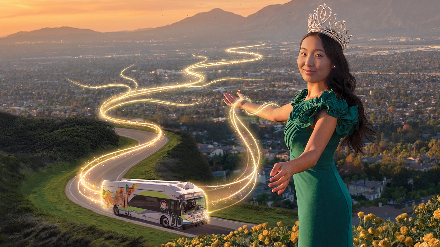
Hikes You Can Get To On Foothill Transit

Take the bus to hike trails in the San Gabriel Valley and Los Angeles.

Ready to stretch your legs?

Hike just a little way down some of the spectacular trails in our area, and suddenly you feel like you’re miles away from the noise, crowds, and concrete of the city. Connecting to your nearest trailhead by bus is a perfect way to make your great escape. You don’t have to worry about the risks of parking your car in low-visibility trail parking areas. You can spend the whole ride home sharing the pictures you took on your hike. And you can smile with the knowledge that the bus you’re on is helping to keep our parks and trails healthy and pollution-free.

A little preparation will help to keep the whole experience a good one. Check for weather advisories before you go. Bring plenty of water, and use hats and loose clothing to shield yourself from the sun. Make sure your footwear is up to the job. Stay on the trail, and let someone know where you’re going and when you plan to return.

Ready to get away from it all? Each of these trails is easy to moderate, and they range from a little tenth of a mile to an almost 19-mile stretch! Information on these trails is from AllTrails.com. And because we know you don’t want to go on a hike to get to your hike, each of these trails is less than half a mile (just a 10-minute walk!) from the nearest bus stop. You can also see all of the trails laid out on this map.

Happy trails! (We couldn’t resist.) Share your pictures with us at #foothilltransit.

Claremont

Pacific Electric Trail

Easy

altrails pacific electric trail ralph tracy

Pacific Electric Trail is a 19.9 mile heavily trafficked point-to-point trail located near Rancho Cucamonga, California that features beautiful wildflowers and is good for all skill levels. The trail offers a number of activity options and is accessible year-round. This trail has an elevation gain of 318 feet.

Take Line 188, 197, 292, 480, or 492 to 1st St and Mills Ave, then head east on 1st St, and continue onto Huntington Dr to the trail.

all trails pacific electric trail map

Diamond Bar

Steep Canyon Trail

Moderate

alltrails steep canyon trail areli garcia

Steep Canyon Trail is a 1.6 mile lightly trafficked loop trail located near Diamond Bar, California that features beautiful wildflowers. The trail offers a number of activity options and is accessible year-round. This trail has an elevation gain of 479 feet.

Take Line 286 to Diamond Bar and Tin or Crestview, then head south on Diamond Bar Blvd, turn left onto Steep Canyon Rd, turn left to stay on Steep Canyon Rd, and the entrance to the trail is at 902 Steep Canyon Rd.

alltrails steep canyon trail map

Duarte

Duarte Recreational Trail

Easy

C22DD71E-D429-418B-98F4-4A940F5DC936

Duarte Recreational Trail is a 3.2 mile moderately trafficked out and back trail located near Duarte, California that offers scenic views and is good for all skill levels. The trail offers a number of activity options and is accessible year-round. Dogs are also able to use this trail but must be kept on leash. This trail has an elevation gain of 82 feet.

Take Line 861 to any of the stops along Royal Oaks Dr.

C22DD71E-D429-418B-98F4-4A940F5DC936

La Puente

Industry Trail

Easy

alltrails industry trail gilbert a cadena

Industry Trail is a 4.9 mile moderately trafficked out and back trail located near La Puente, California. The trail is good for all skill levels and primarily used for walking and trail running. The trail has an elevation gain of 380 feet.

Take Line 185 to Temple Ave and Glendora, then head southeast on Temple Ave. The entrance to the trail is just past Expo Center Dr.

alltrails industry trail map

Los Angeles

Bunker Hill Steps

Moderate

alltrails bunker hill steps jose barrios

Bunker Hill Steps are a 0.1 mile lightly trafficked out and back trail that offer scenic views. The trail is primarily used for walking and is accessible year-round. The Bunker Hill Steps linking Hope Street to Fifth Street thread a peaceful path through Downtown’s urban towers. A fountain stream spills down the center of this monumental staircase designed by Lawrence Halprin. Its quiet beauty is reminiscent of Rome’s Spanish Steps (albeit more narrow). The stream originates at the top of the stairs where Robert Graham’s nude female sculpture Source Figure stands atop a cylindrical base. The figure’s hands are open, as if to offer water to the city.

Take the Silver Streak to Grand and 5th, then head northeast on Grand Ave, turn left onto 5th St, and turn right to access the entrance at 711 W 5th St.

alltrails bunker hill steps maps

Pomona

Eagle Scout Trail

Moderate

altrails eagle scout okie dokie

Eagle Scout Trail is a 3.3 mile lightly trafficked out and back trail located near Pomona, California that features beautiful wild flowers. The trail offers a number of activity options and is accessible year-round. This trail has an elevation gain of 866 feet.

Take Line 286 to Mission Blvd and Allegro Ln, then head north on Mission Blvd. The trail entrance is on the right.

altrails eagle scout trail map

South El Monte

Legg Lake Loop Trail

Easy

alltrails legg lake loop trail alan chan

Legg Lake Loop Trail is a 2.2 mile moderately trafficked loop trail that features a lake and is good for all skill levels. The trail offers a number of activity options and is accessible year-round. The trail has an elevation gain of 22 feet.

Take Line 269 to Santa Anita Ave and Lexington-Gallatin Rd, then head northwest on Santa Anita Ave, and turn left to enter 750 Santa Anita Ave.

alltrails legg lake loop trail map

Walnut

Schabarum Trail

Moderate

altrails schabarum trail yan yan song

Schabarum Trail is a 3.6 mile lightly trafficked out and back trail located near Walnut, California that offers scenic views and is rated as moderate. The trail is primarily used for hiking, walking, trail running, and nature trips and is accessible year-round. This is part of the equestrian trails in the area. It is a relatively easy hike that goes back away from the streets and up towards the neighborhood on top of the hill. This trail has an elevation gain of 1,000 feet.

Take Line 486 to Amar Rd and Lemon Ave. The trail starts going north on Lemon Ave.

altrails schabarum trail map

Whittier

Arroyo Pescadero Trail

Moderate

alltrails arroyo pescadero trail paul santos

Arroyo Pescadero Trail is a 2.6 mile lightly trafficked loop trail that offers the chance to see wildlife. The trail is primarily used for hiking, walking, trail running, and horses. The trail has an elevation gain of 288 feet.

Take Line 285 to Colima Rd and Mar Vista Dr, then head north on Colima Rd, turn left to stay on Colima Rd, and turn left onto Arroyo Pescadero Trail.

alltrails arroyo pescadero trail map

Sycamore Canyon Trail

Easy

alltrails sycamore canyon trail luz olivares

Sycamore Canyon Trail is a 3.3 mile moderately trafficked out and back trail that features beautiful wild flowers and is good for all skill levels. The trail offers a number of activity options and is accessible year-round. It has an elevation gain of 318 feet.

Take Line 274 to Workman Mill and Sierra Morena Ave, then head north on Workman Mill Rd toward Strong Ave, and turn right to enter 5040 Workman Mill Rd.

alltrails sycamore canyon trail maps

July 18th, 2023
Tags:
    Connections, Cycling, DTLA, Family, Featured, Footnotes, Summer

Back to Articles
Rose Bowl Graphic
Connections

Rose Bowl Shuttle Service

Use Foothill Transit Rose Bowl shuttle service to live Rose Bowl events so you can avoid traffic and parking.

Go car(e) free to live events at the Rose Bowl. Let us take care of the driving, so you can sit back, relax, and avoid the hassle of Rose Bowl traffic and parking. The shuttle is a straight shot to the front gates of the Rose Bowl. Park your car at the Parsons parking lot. You can also take Line 187 to Raymond and Walnut to catch the Foothill Transit Rose Bowl shuttle. Look for the line of people — don’t worry about the line, it moves quickly — and in mere minutes you’ll be on your way to the stadium.

Location, times, and prices

Shuttles start running from the Parsons parking lot on Pasadena Ave just north of Union St. Times and prices vary by event. For times, please see the events list below. For shuttle pricing, please view the Rose Bowl event page. Before you board the bus, make sure all food and drink is in sealed, spill-proof containers. This is to avoid slips, trips, and falls and to keep our buses clean and safe for everyone. If you have a drink in a disposable container, please finish it and dispose of it before you board. Also, keep in mind the Rose Bowl’s bag policy, which you can find on their list of stadium rules and prohibited items.

Events

  • Saturday, May 10, 12 p.m., Just Like Heaven: Shuttle service starts at 11 a.m. and ends 90 minutes after the concert ends
  • Saturday, May 17, 12 p.m., Cruel World: Shuttle service starts at 11 a.m. and ends 90 minutes after the concert ends

Giving Earth its Best Day Ever

give Earth its best day ever

Foothill Transit happily supports the 2025 Rose Queen® Lindsay Charles and the Tournament of Roses. The Tournament of Roses Foundation does great work to promote equity in our community, and we’re proud to be partnering with them for the 10th year!

2025 Rose Queen® Lindsay Charles is a huge advocate for sustainability and even leads a club at her high school to help others find accessible ways to be eco-friendly. With the Rose Queen’s strong support of sustainable transportation, she can empower the community to make choices that are good for the planet so we can keep having the best days ever.

Learn more about our hydrogen fuel cell buses and our mission to operate a 100% zero-emissions bus fleet here.


May 1st, 2025
Tags:
    Connections

Read More

Real Time Bus Information

add_circle remove_circle
When will your bus arrive?
Current Location
Find Your Bus

error message

Trip Planner and Alerts

add_circle remove_circle

Where would you like to go?

Current Location
Destination
  • Arrive By
  • Depart By
keyboard_arrow_down
keyboard_arrow_down

Alerts

add_circle remove_circle

Bus Line or Current Location
Sign up for Alerts
Manage Account
Find my current location

I would like Foothill Transit to find my location so I can get better real-time information.

Locate Me No Thanks
1/2
Our website has new features!

Change is good! Let’s explore what’s new.

View Features Skip Tour
2/2

Footer Column 1

  • Your Rights
  • Site Policies
  • DBE & Ethics Policies
  • Document Library

Footer Column 2

  • Administrative Office
  • Careers

Footer Column 3

  • Equipment Liquidation
  • Developer Resources
  • Sustainability
  • Contact Us

Follow Us

  • FaceBook
  • Instagram
  • Threads
  • Bluesky
  • X
  • LinkedIn
  • YouTube
  • Pixelfed
  • Pinterest
Foothill Transit

© 2023 Foothill Transit. All rights reserved.